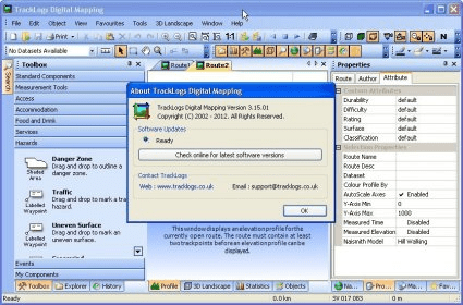
TrackLogs Digital Mapping include genuine Ordnance Survey digital data and are visually identical to the paper Explorer and Landranger maps. The maps show footpaths, bridleways and contours, just like the paper ones. Features:
- Pan and Zoom
Seamless mapping means no borders. Pan from one end of the country to the other.
- Search by Placename
All text printed on the maps is catalogued into a searchable gazetteer included with all products.
- Mapping Scales
TrackLogs map scales include 1:25,000(Explorer), 1:50,000(Landranger) and 1:250,000(Roadmap). All maps install into the same TrackLogs application so you can flick between map scales.
- Print Maps
Print full colour Ordnance Survey mapping on your home printer. Flexible printing tools let you control precisely what is printed and automatically span your route over multiple pages when required.

The Nokia Digital Pen allows you to write notes on compatible digital paper.


Comments (1)